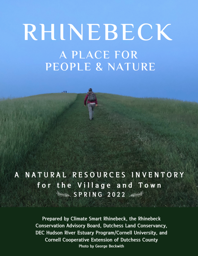
Photo by George Beckwith
Natural Resources Inventory
Understanding Ecosystems in Rhinebeck & Our Role in Them
A Natural Resources Inventory (NRI) is a compendium of maps detailing water, soils, habitats and more in a specific location. An NRI also includes a report that analyzes what you see in the maps and draws together the latest research to give the maps interpretive detail and context. A Natural Resources Inventory is a planning tool, most often used by Conservation Advisory Boards and Planning and Zoning Boards. The NRI was used in developing the Village’s 2024 Comprehensive Plan. We also envision the NRI as a community tool, where residents and the school district can explore this public information and develop a deeper understanding of the various aspects of our ecosystem.
The Village and Town of Rhinebeck collaborated on our NRI, which was officially adopted in the spring of 2022. The undertaking was supported by the Hudson River Estuary Program and Cornell Cooperative Extension Dutchess County. The Village process was led by Village Trustee Vanessa Bertozzi, with tremendous help from these volunteers:
Carli Fraccarolli, CSC Task Force member, GIS, Scenic Hudson
Christopher Tavener, architect, Village Zoning Board of Appeals
Scout Pronto, CSC Task Force member, student climate change leader
Dan Shapley, Riverkeeper employee and volunteer from Rhinebeck
The NRI report can be viewed here online as a PDF with accompanying PDF maps. Or you can visit Village Hall, Town Hall, Starr Library or Morton Library to see a printed and bound copy. The public meeting room upstairs at Village Hall displays framed prints of the maps.
For background on the purpose of NRIs, here’s a helpful 2-page fact sheet from the DEC. For a more in-depth guide on NRIs, check out this PDF.
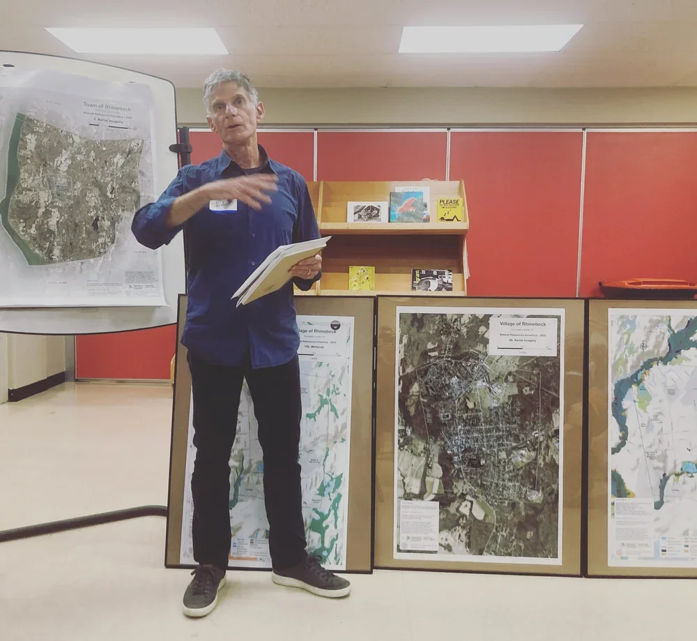
Steve Rosenberg, member of the Comprehensive Plan Committee, using maps during a fall 2022 public meeting
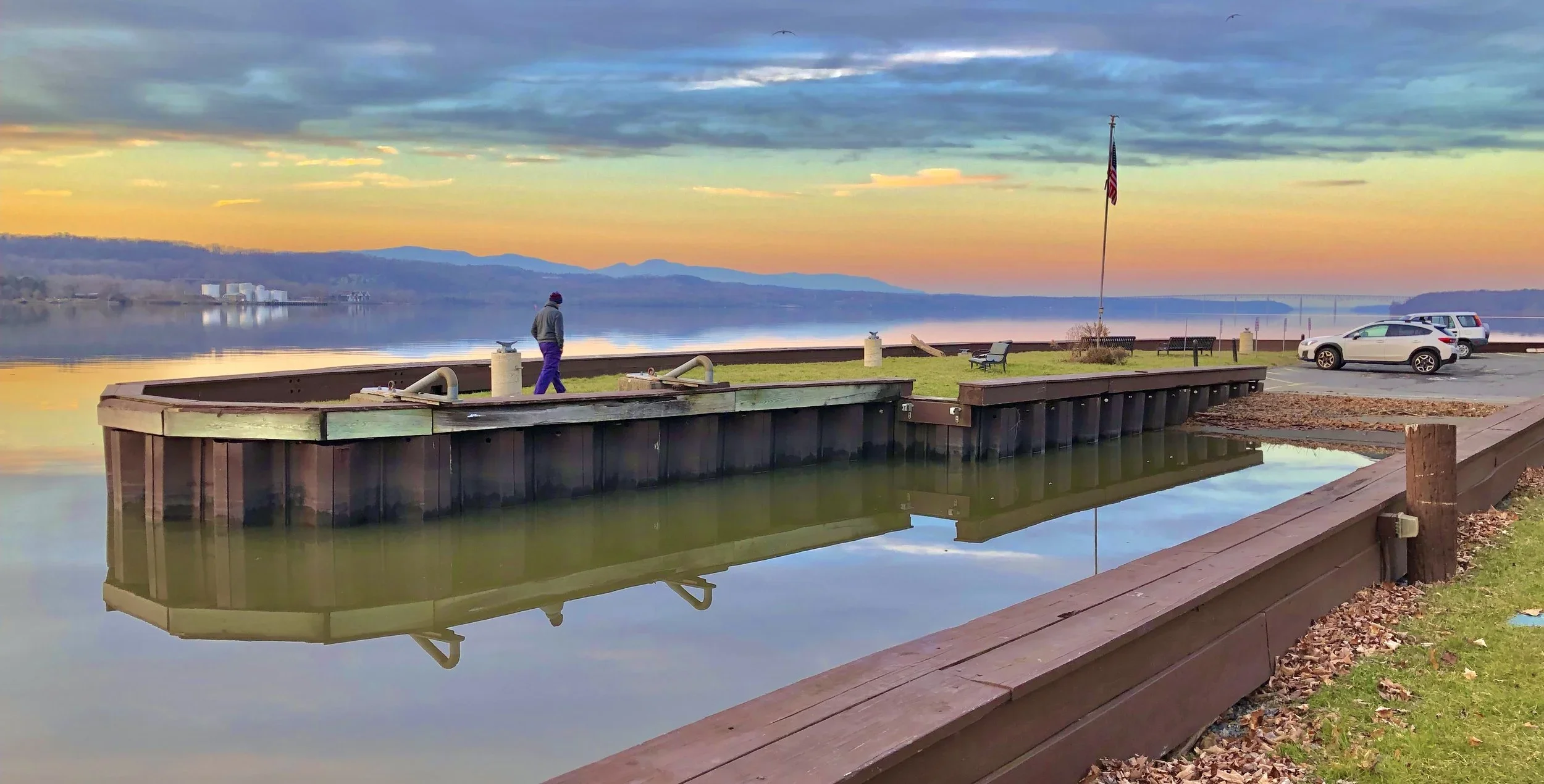
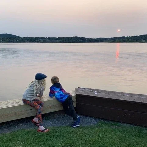
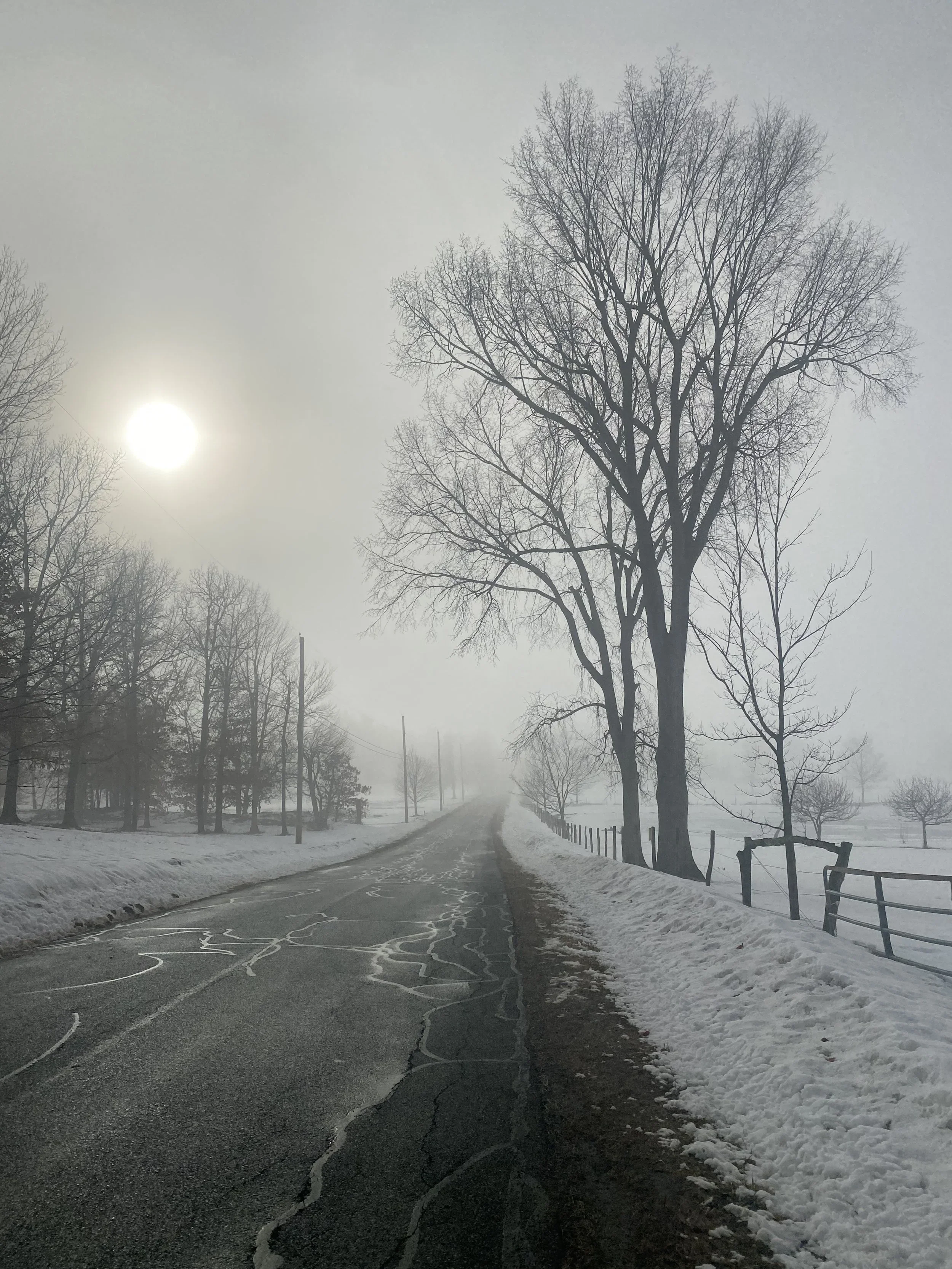
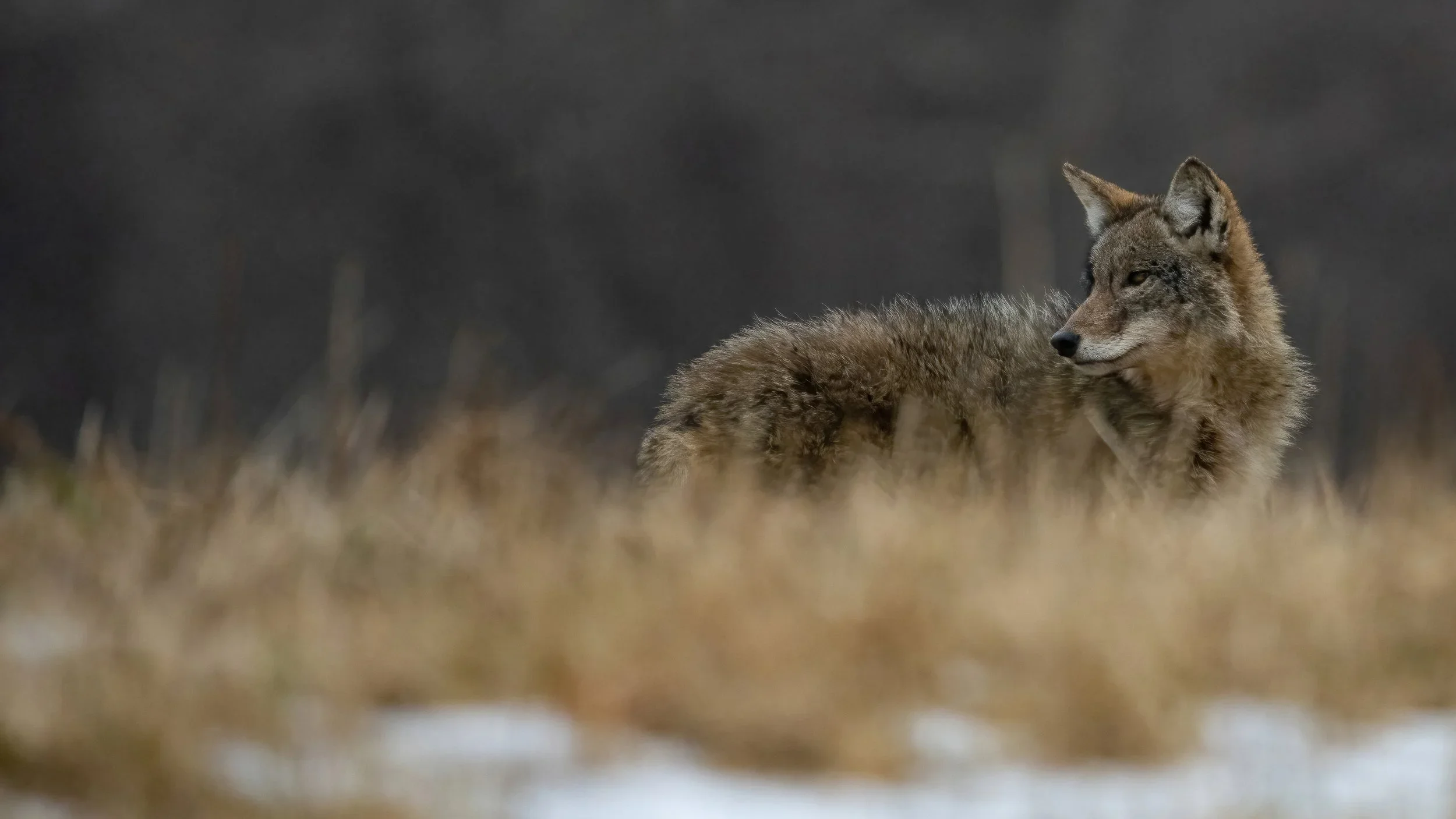
For the NRI, we put a call out for photography to be included in the report and then asked the community to vote on their favorite photos. The top 4 vote-getters received a thank you gift: a beautiful nature photography book, curated by Oblong Books.
Gaze upon the beautiful winning photos in the slideshow below! Dozens of additional photos from the community are included in the NRI report.